


Parametric future cities
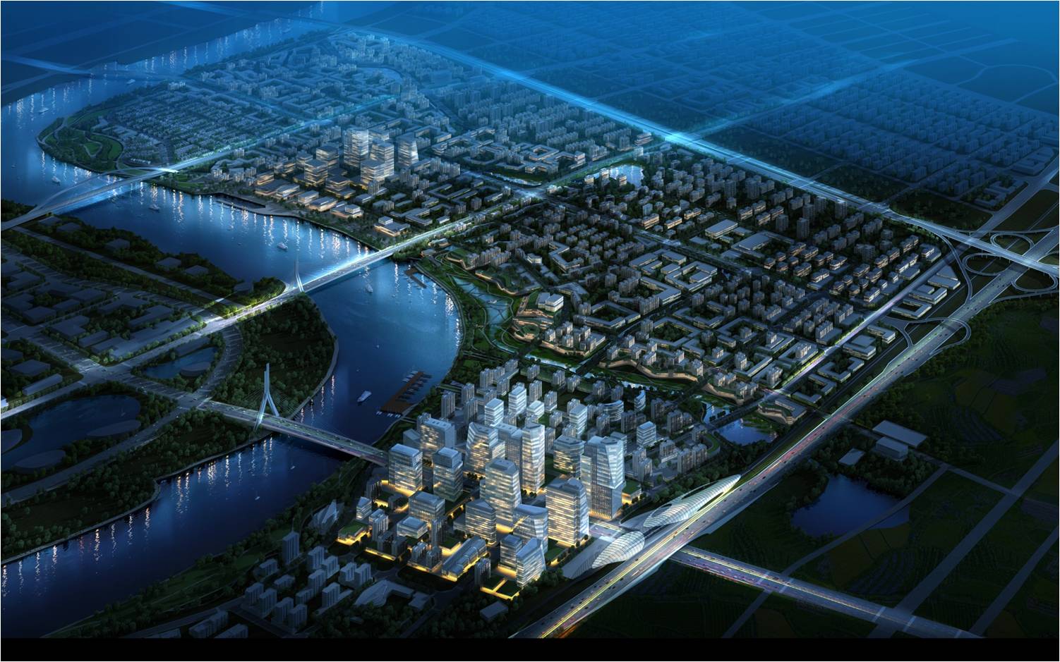
Design rendering for Tianjin, China.
With more people living in cities than ever before, we are faced with new challenges to design efficient urban infrastructure to meet the needs of a growing population and changing climate. This shifting dynamic implores us to rethink the way we plan and design our buildings and our cities. They must be sustainable. They must be high-performing. And they must be places where people want to be.
High-performing places result from a streamlined, connected planning and design approach integrating land and building, ecology and economy. I have been part of a process to develop a software application that can quickly and accurately evaluate varying urban design and engineering scenarios early in the planning process to improve overall performance of systems, reduce cost, and allow architects, planners, city officials, and residents to make informed decisions about our future environments.
Design rendering for Tianjin, China.
Para-Form combines the existing technologies of 3d Modeling Software (Rhino), Parametric Modeling Platform (Grasshopper), and Microsoft Excel to evaluate building and community performance in real time. The application links specific design parameters directly to 3d models, allowing users to effectively manage data and consider various design options along with their greater implications at the building and city scales. Beginning with a set of design parameters, the application uses advanced built-in calculation tools to evaluate performance criteria such as floor area ratios, gross floor area, building heights, population, number of dwelling units and parking. The performance evaluation happens in real time as the design team makes changes to the 3d model, which allows for quick and informed choices about the project’s design. Unlike traditional geospatial tools, this application has the ability to assign land use functionality to the 3d modeling environment. By keeping track of land use information we can optimize for land use distribution and achieve ideal urban design.
By developing a software application based on existing technologies, this tool allows for multiple iterations of a new building or city design to be explored, evaluated and modified during the early stages of the urban planning and design process. Bridging the gap between our design and evaluation tools, the city-form application is used alongside other sustainable modeling tools to generate multiple development alternatives, each rated across a range of sustainability key performance indicators, to help determine the most cost-effective sustainability measures. Used in conjunction with an integrated design and planning approach, this application helps to reduce costs, elevate performance and clarify the environmental, social and aesthetic complexities inherent in each project.

Design rendering for Tianjin, China.
German Aparicio (german.aparicio@aecom.com) is a computational design specialist with AECOM’s Architecture practice in Orange, California.
Other articles by this author